
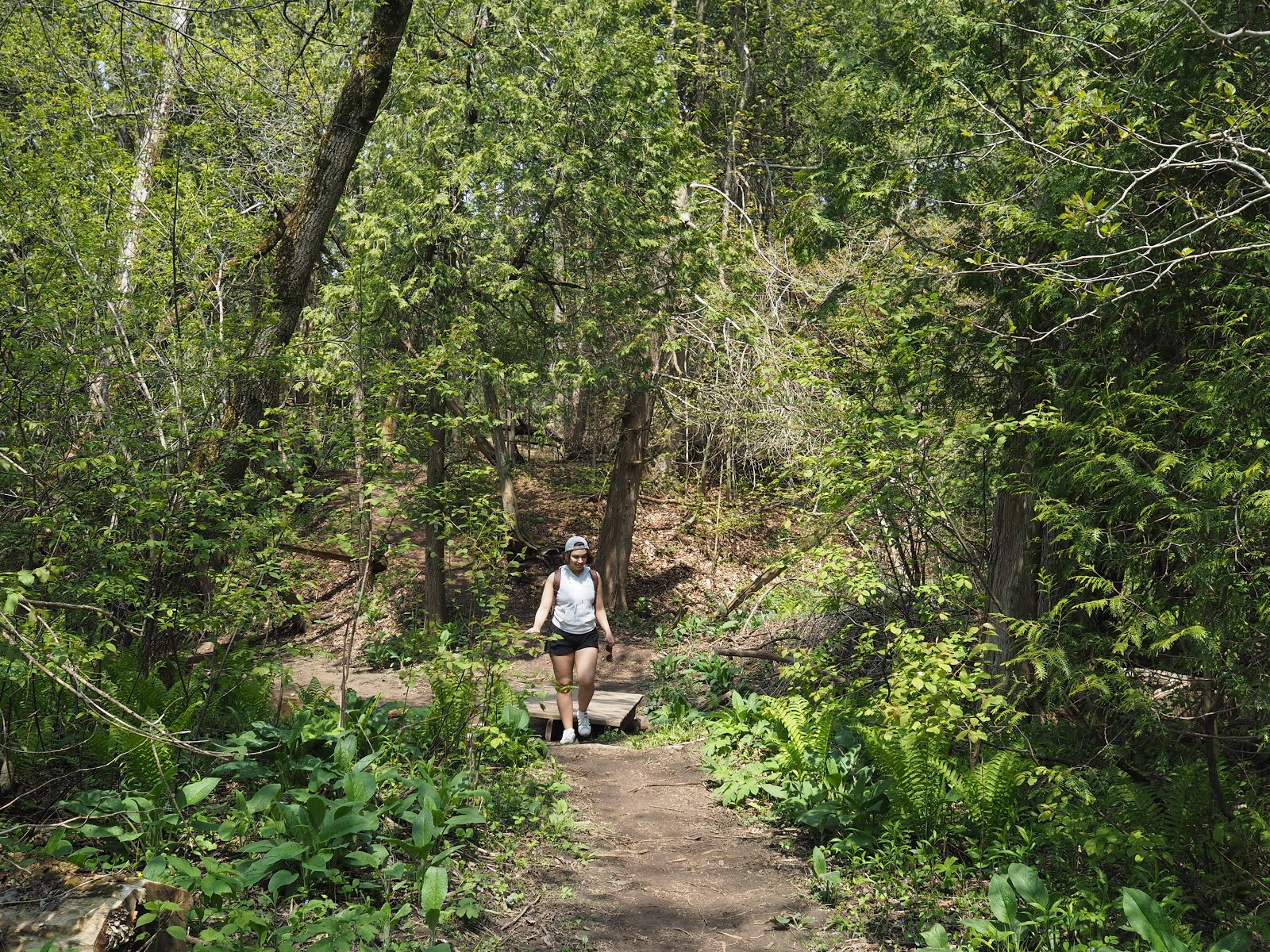
It was forecast to be a sunny day, with thundershowers coming later that evening. We set out without much regard for the weather, and crossed below the underpass through a sparse forest that was beginning to show the first signs of summer.


The trail took us over the muddy banks of the old hunting and fishing routes that ran along the creek.


We went up a small hill, and found ourselves facing a creepy forest of dead trees. Two paths, diverged in an old forest, and we took the creepier path, but rain and mud made us turn back. Oddly enough, the rain stopped as we headed back to the other side; a good omen.


I told Dan to be on the look out for trilliums, without the expectation of actually stumbling upon them. I had seen the often in my old life as a girl guide, and I was overjoyed to find one after many years. While snapping photos of this bunch, Dan told me to turn around, and lo and behold, a huge patch of trilliums.


A lady told us there were "purple ones further down", so I made it our goal to continue until we spotted them. However, it dawned on me later that she didn't specify if they were purple trilliums or just purple flowers...


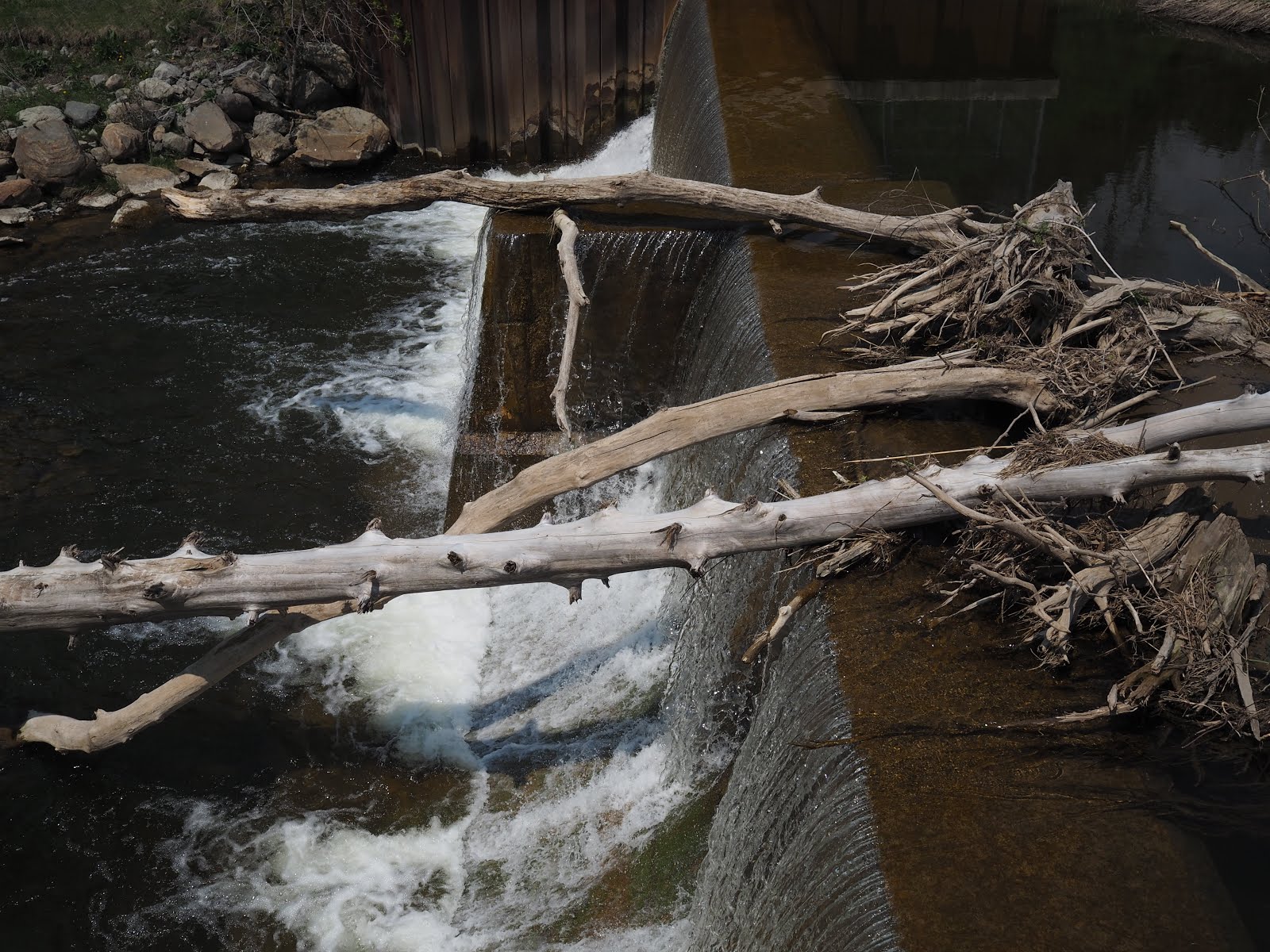
We heard the sound of a waterfall as we approached a clearing, and found a man-made dam. We took a brief stop to figure out how much further we should continue, and decided on Whitevale Park as a stopping point.


We had expected the park to be be along the trail, but the trail took us out into a residential street, where we crossed a bridge over Duffins Creek to find the entrance to the park.


We were greeted by a dilapidated shed, and ate our midway hiking snacks while facing an odd pen fenced by low logs. Across the field was the continuation of the Seaton Trail, but as the trail is not a loop, we needed to turn around at some point. Coupled with the fact that Google Maps said this portion of the trail was temporarily closed, we decided to make our way back.


I put my camera away for the hike back, as I wanted to enjoy the trail as well as carry my tired dog part of the way. Google Maps said it was a 6.2 km round trip, so we did our fair bit of exercise for the day before going back to stuff ourselves with frozen Yakult, BBQ, and way too many desserts.
No comments:
Post a Comment